

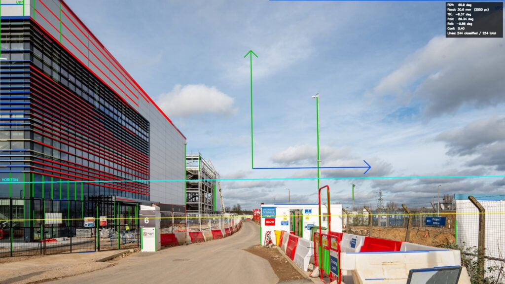
Camera Match: AutoSetup 3d Plugin / script for Photomontages- Cinema 4D

If you do any kind of Architectural Visualisation, Previz, or VFX work in Cinema 4D, you know the pain of trying to match a 3D camera to client reference photos. It’s usually a lot of manual grid-tweaking, and it gets especially frustrating if the road is sloped, the photo was cropped, or you have no idea what the real-world scale is.
I’ve been developing a script to automate this called Camera Match AutoSetup, and I wanted to share a comprehensive workflow breakdown on how to solve these specific issues inside C4D.
(Full disclosure: I am the developer of this tool, but I wanted to share the step-by-step process here as I know camera calibration is a daily headache for a lot of us!).
Here is a quick overview of the workflow:
1. Auto-Detecting Vanishing Points & Fixing Cropped Photos: Instead of manually drawing perspective lines, the tool auto-detects the vanishing points to solve your angle, lens, and horizon. However, if the client cropped the photo (which throws off the vertical tilt), I show how to use a built-in Crop Photo tool to extend the bounds and correct the vertical distortion perfectly.
2. Handling Sloped Roads / Hills: Auto-detecting a camera on a hill will usually fail because the vanishing points don’t align with a flat horizon. The workflow covers how to use a “Force level horizon” setting to bypass this and get a clean match even on uneven terrain.
3. Verifying Object Rotation with OpenStreetMap (OSM): Sometimes you can match a camera perfectly, but the buildings or cars in the shot are actually rotated in real life, throwing off your alignment. I demonstrate how to fetch latitude/longitude data from the OSM website, import the road paths and building footprints directly into C4D, and use them to verify that your 3D objects are rotated correctly to the real world.
4. One-Click Real-World Scaling: Once the camera is matched, the scene is usually at an arbitrary scale. By using the Scene Scale Calculator, you can select a known object (e.g., a building you know is 1500cm tall), input the value, and scale the entire C4D system unit to match reality.
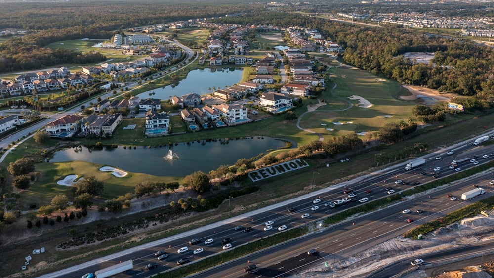
5. Drone Site Builder: Finally, if you have a folder of drone GPS photos, I cover how to pull them all in at once to automatically generate 3D ground terrain and layer it with OSM map data.
Find Camera Match AutoSetup on Gumroad and Patreon.
If you want to see exactly how this is done, or if you want to grab the script/resources for your own pipeline, I’ve recorded a full 14-minute walkthrough here:
I hope this helps speed up some of your photomontage and tracking workflows! I’m happy to answer any questions below about OSM integration, vanishing points, or the script itself.
Enjoying the news? Sign up for the Creative COW Newsletter!
Sign up for the Creative COW newsletter and get weekly updates on industry news, forum highlights, jobs, inspirational tutorials, tips, burning questions, and more! Receive bulletins from the largest, longest-running community dedicated to supporting professionals working in film, video, and audio.
Enter your email address, and your first and last name below!


Thank you so much for sharing this with us. I’m very interested in this topic as I have projects related to it in the pipeline. I’ll take a closer look at the tutorial and let you know if I have any questions or comments. Perhaps moving this to the Cinema 4D forum would be better to facilitate discussion and benefit from user opinions and experiences.
Thanks again!